Send an email to "query@saildocs.com" (do not include quotes).
Subject line - Anything you would like, i.e. Mexico Wx Forecast.
To receive a specific requested weather forecast add in the body of the email message: (do not include the quotes and use exact text/caps)
Pacific Mexico "send OFFPZ7"
Central America "send OFFPZ8"
For multiple days "sub OFFPZ7 days=5"
For a delivery time "sub OFFPZ7 time=12:00"
Daily subscription delivered at noon for next 7 days "sub OFFPZ7 time=12:00 days=7"
Suggested 'other' queries to include in the message body:
send info
send indexcabocorrientesforecast
chubascoforecast
nws-epac-trop
nws-epac
papagayofcst
scuttlebutt
socforecast
Wait five minutes and check your email for the reply email forecast.
Got live Internet? Just click the below links.
Mexico:
http://www.nhc.noaa.gov/experimental/epoffshores/data/WRKOFFPZ7
South of Mexico to Ecuador:
http://www.nhc.noaa.gov/experimental/epoffshores/data/WRKOFFPZ8

New 2014 Proposed EPAC Offshore Weather Zones
===========================
WFO LAT LON ID-NAME TEXT DESCRIPTION
===========================
EAST PACIFIC WITHIN 250 NM OF THE US MEXICO BORDER TO PUNTA FALSA
US MEXICO BORDER TO PUNTA FALSA
NH2 23.405 -114.953 PMZ013
EAST PACIFIC WITHIN 250 NM OF PUNTA FALSA TO CABO SAN LAZARO
PUNTA FALSA TO CABO SAN LAZARO
NH2 23.405 -114.953 PMZ015
EAST PACIFIC WITHIN 250 NM OF CABO SAN LAZARO TO CABO SAN LUCAS
CABO SAN LAZARO TO CABO SAN LUCAS
NH2 29.931 -113.466 PMZ017
NORTHERN GULF OF CALIFORNIA NORTHERN GULF OF CALIFORNIA
NH2 25.945 -110.194 PMZ019
SOUTHERN GULF OF CALIFORNIA SOUTHERN GULF OF CALIFORNIA
NH2 19.902 -106.744 PMZ021 ENTRANCE TO THE GULF OF CALIFORNIA
INCLUDING CABO CORRIENTES ENTRANCE TO THE GULF OF CALIFORNIA
INCLUDING CABO CORRIENTES
NH2 15.897 -102.52 PMZ023
EASTERN PACIFIC WITHIN 250 NM OF MEXICO MICHOACHAN AND GUERRERO
MEXICO - MICHOACHAN AND GUERRERO
NH2 13.898 -97.381 PMZ025
EASTERN PACIFIC WITHIN 250 NM OF MEXICO OAXACA AND CHIAPAS
MEXICO - OAXACA AND CHIAPAS INCLUDING THE GULF OF TEHUANTEPEC
NH2 12.042 -91.813 PMZ111
EASTERN PACIFIC WITHIN 250 NM OF GUATEMALA AND EL SALVADOR
GUATEMALA AND EL SALVADOR
NH2 10.329 -88.672 PMZ113
EASTERN PACIFIC WITHIN 250 NM OF NICARAGUA AND NORTH COSTA RICA
EL SALVADOR TO NORTH COSTA RICA INCLUDING THE GULFS OF FONSECA AND PAPAGAYO
NH2 6.574 -84.389 PMZ115
EASTERN PACIFIC WITHIN 250 NM OF COSTA RICA AND WEST PANAMA
NORTH COSTA RICA TO WEST PANAMA
NH2 5.289 -80.249 PMZ117
EASTERN PACIFIC WITHIN 250 NM OF E PANAMA AND COLOMBIA
EAST PANAMA AND COLOMBIA INCLUDING GULF OF PANAMA
NH2 -0.85 -81.819 PMZ119
EASTERN PACIFIC WITHIN 250 NM OF ECUADOR ECUADOR INCLUDING GULF OF GUAYAQUIL
- - - snip - - -
Mexico and Central America – Weather Links
Text Weather Forecasts
- Caribbean weather which helps fcst Tehuatepecers and Papagayos
http://www.srh.noaa.gov/data/NHC/OFFNT3
- Pacific Ocean Equator to 30N east of 140w
http://www.nhc.noaa.gov/text/MIAHSFEP2.shtml
- Tropical weather discussion for Eastern North Pacific
http://www.nhc.noaa.gov/text/MIATWDEP.shtml
Graphics
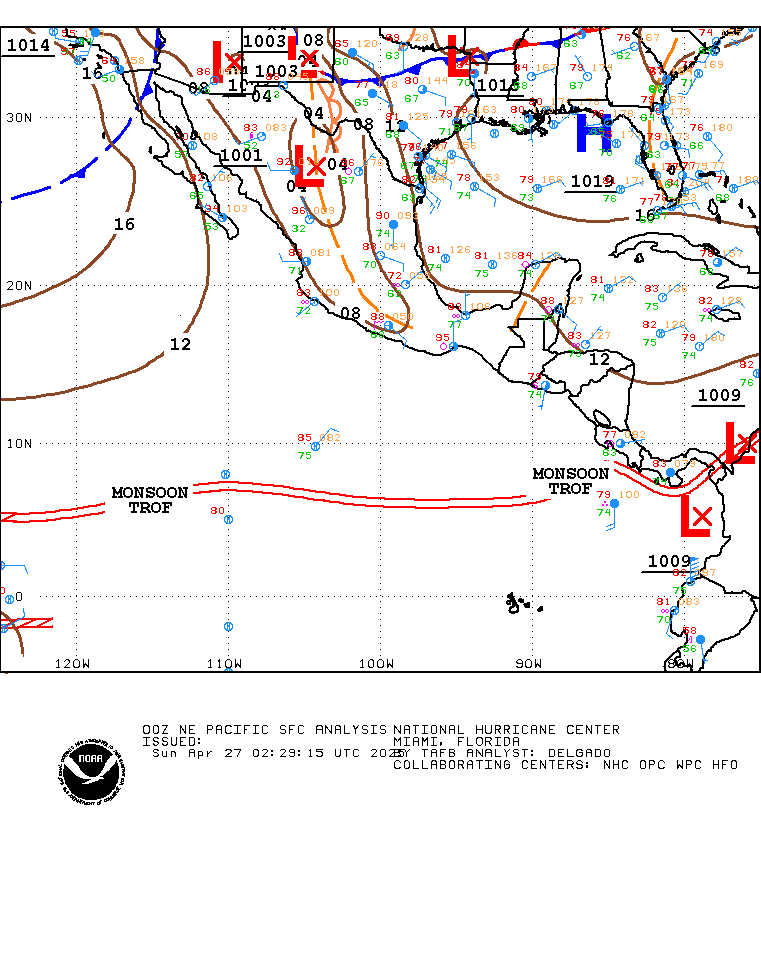
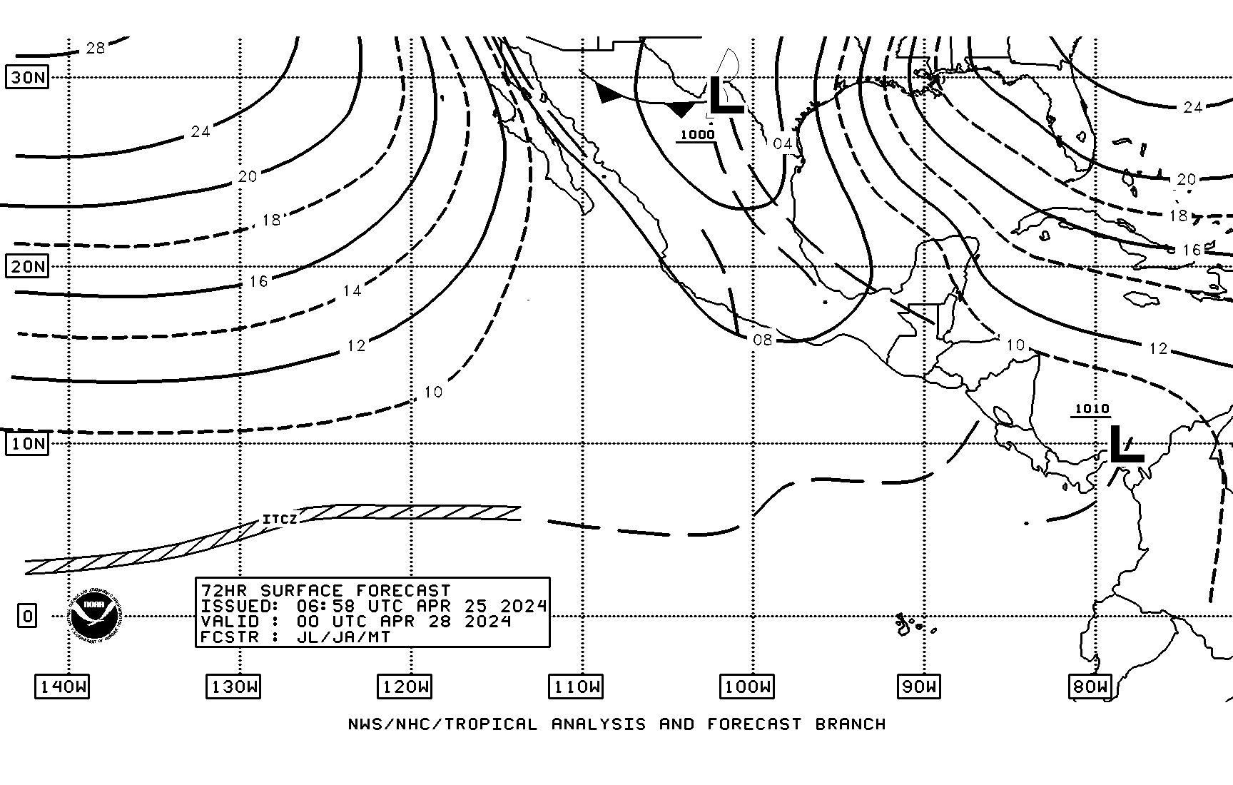
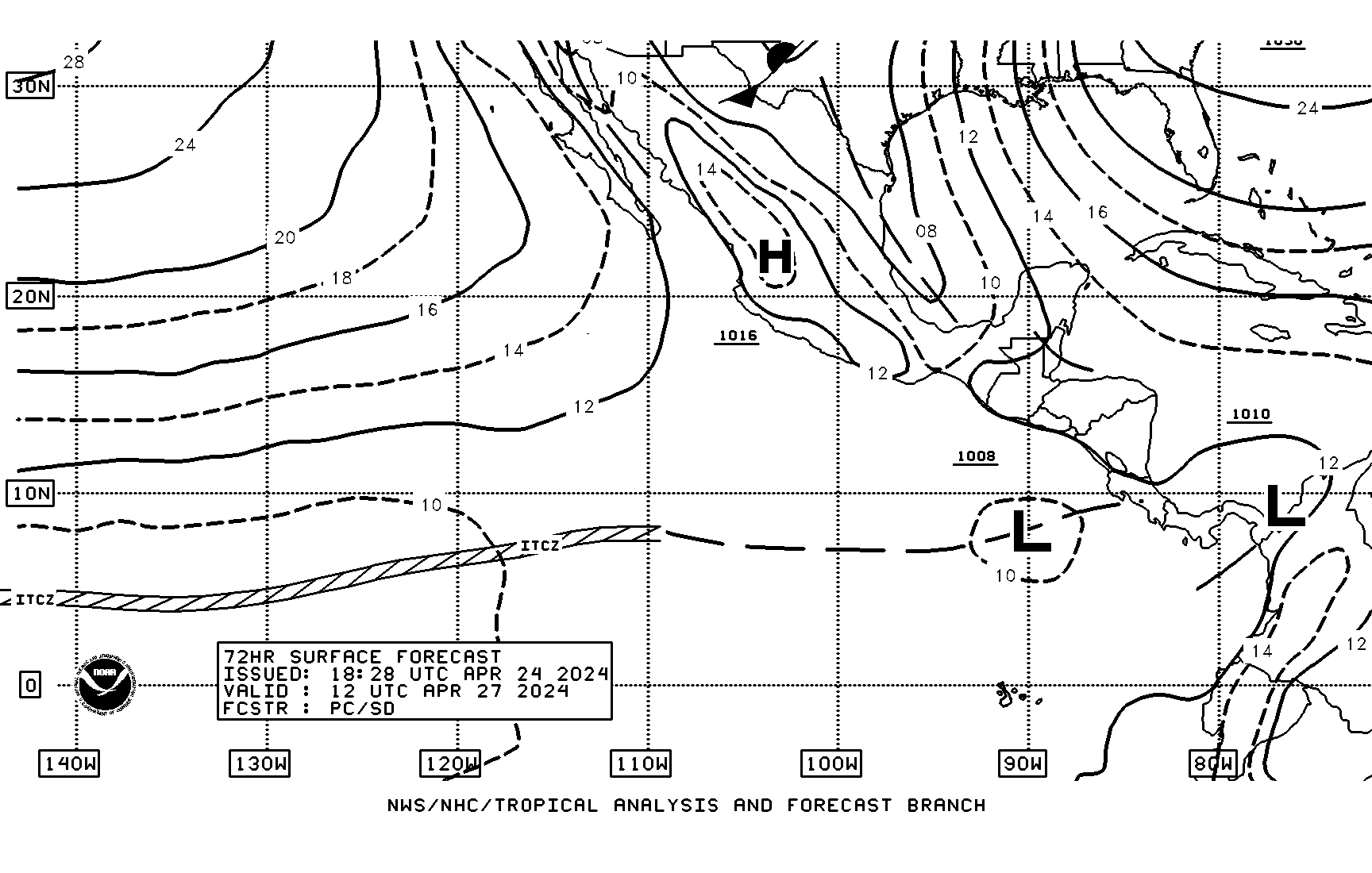
- Surface analysis N. America, Caribbean and Central America
00z http://www.nhc.noaa.gov/tafb/TSA_00Zbw.gif
06z http://www.nhc.noaa.gov/tafb/TSA_06Zbw.gif
12z http://www.nhc.noaa.gov/tafb/TSA_12Zbw.gif
18z http://www.nhc.noaa.gov/tafb/TSA_18Zbw.gif
- Tropical East Pacific surface analysis
00Z http://www.nhc.noaa.gov/tafb_latest/EPAC_latest.gif
00z http://www.nhc.noaa.gov/tafb/PACFUL_00Zbw.gif
06z http://www.nhc.noaa.gov/tafb/PACFUL_06Zbw.gif
12z http://www.nhc.noaa.gov/tafb/PACFUL_12Zbw.gif
18z http://www.nhc.noaa.gov/tafb/PACFUL_18Zbw.gif
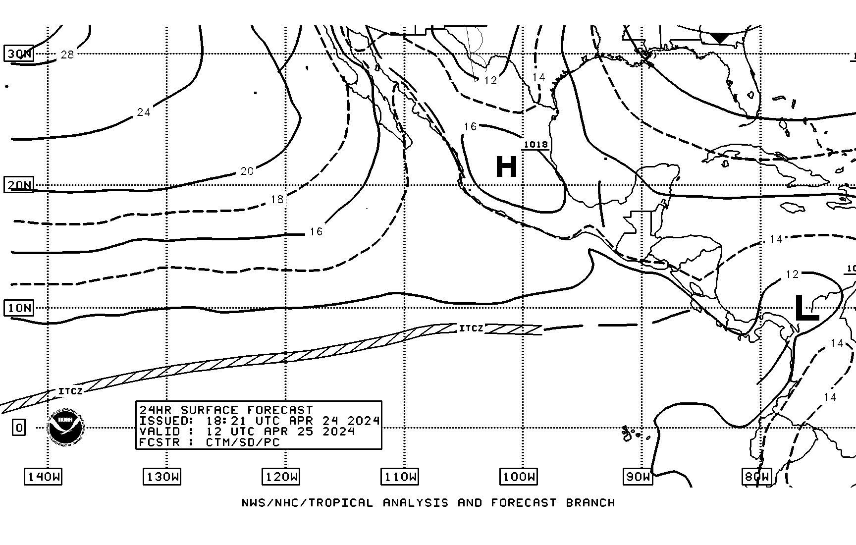
- Tropical East Pacific surface forecast
0000z 24 hr fcst http://www.nhc.noaa.gov/tafb/pacsfc24_00bw.gif
1200z 24 hr fcst http://www.nhc.noaa.gov/tafb/pacsfc24_12bw.gif
0000z 48 hr fcst http://www.nhc.noaa.gov/tafb/pacsfc48_00bw.gif
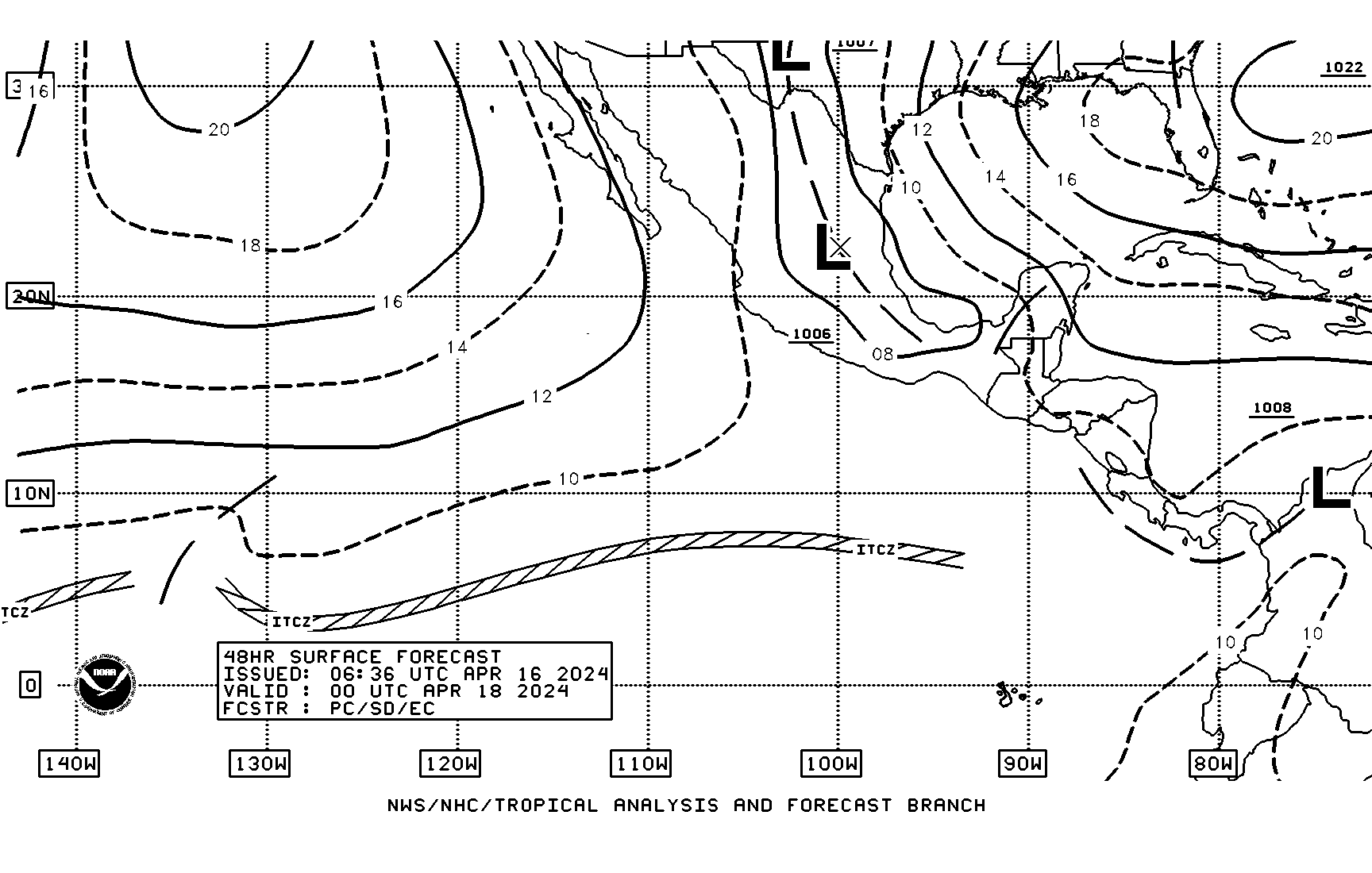
1200z 48 hr fcst http://www.nhc.noaa.gov/tafb/pacsfc48_12bw.gif
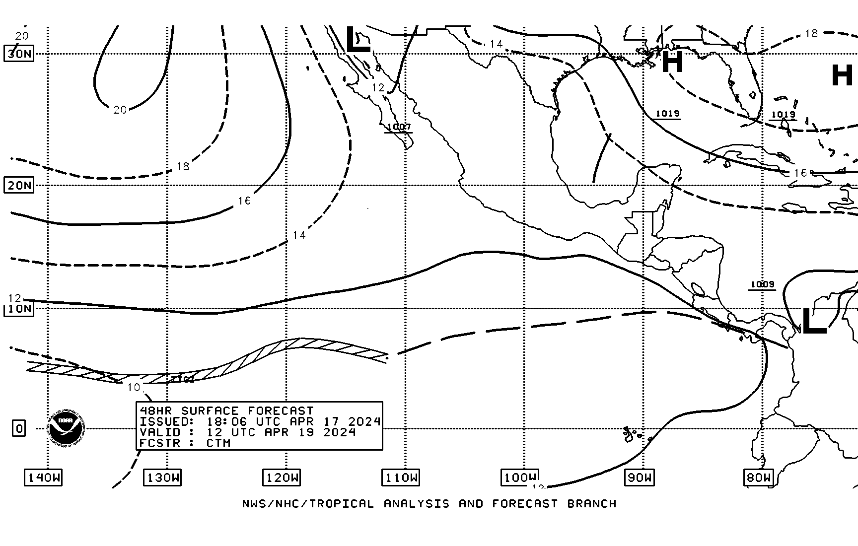
0000z 72 hr fcst http://www.nhc.noaa.gov/tafb/pacsfc72_00bw.gif
1200z 72 hr fcst http://www.nhc.noaa.gov/tafb/pacsfc72_12bw.gif
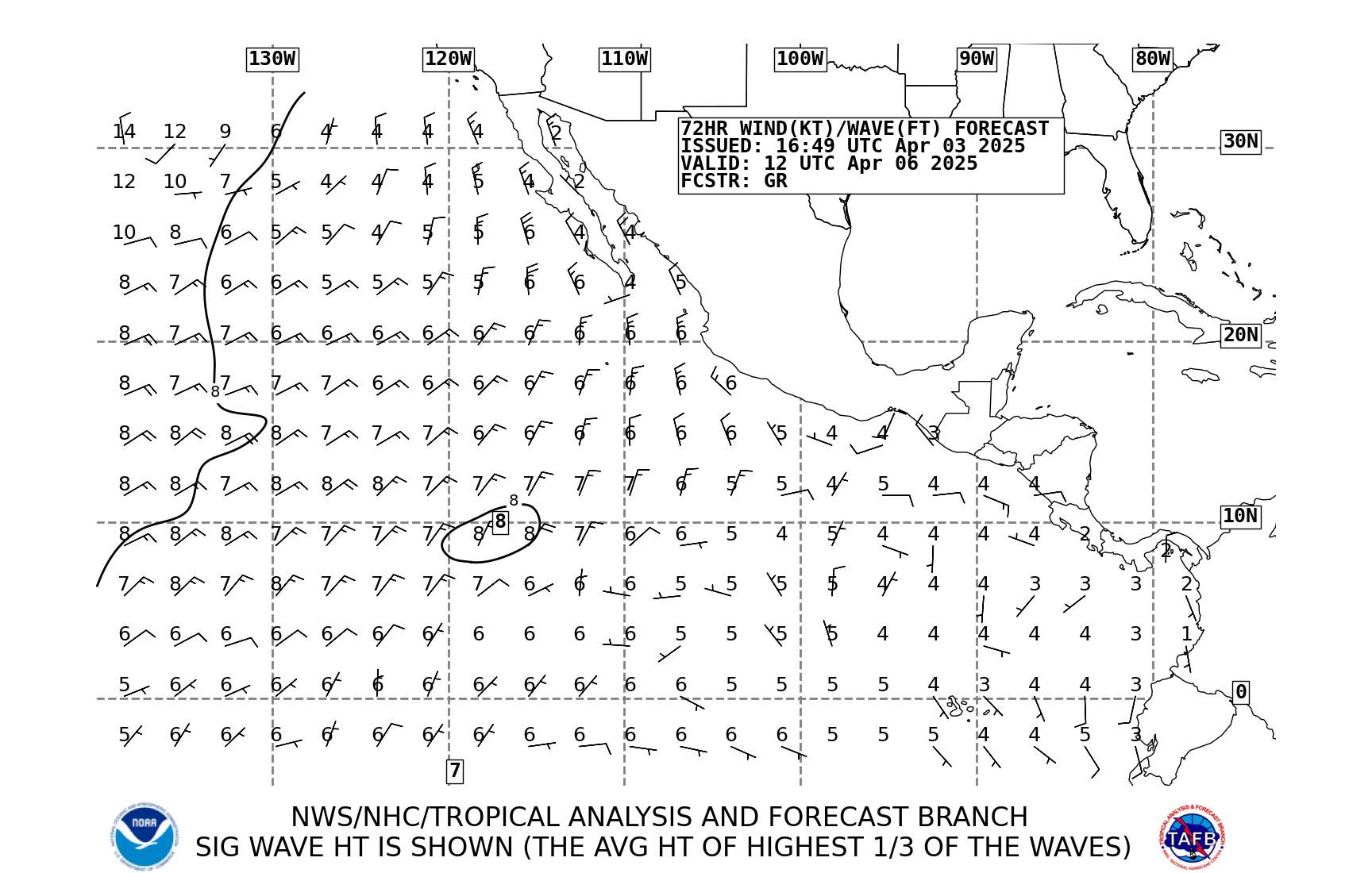
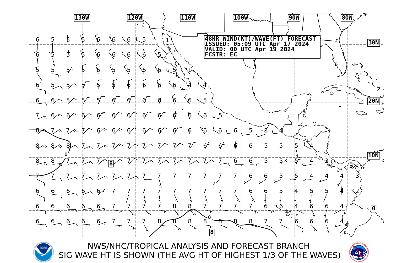
- Wind and Waves Tropical East Pacific
24 hr 00 utc http://www.nhc.noaa.gov/tafb_latest/pac24_latestBW.gif
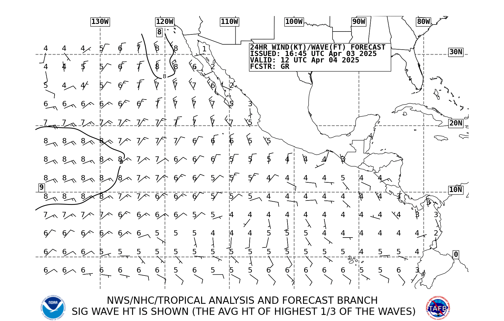
48 hr 00 utc http://www.nhc.noaa.gov/tafb_latest/pac48_latestBW.gif
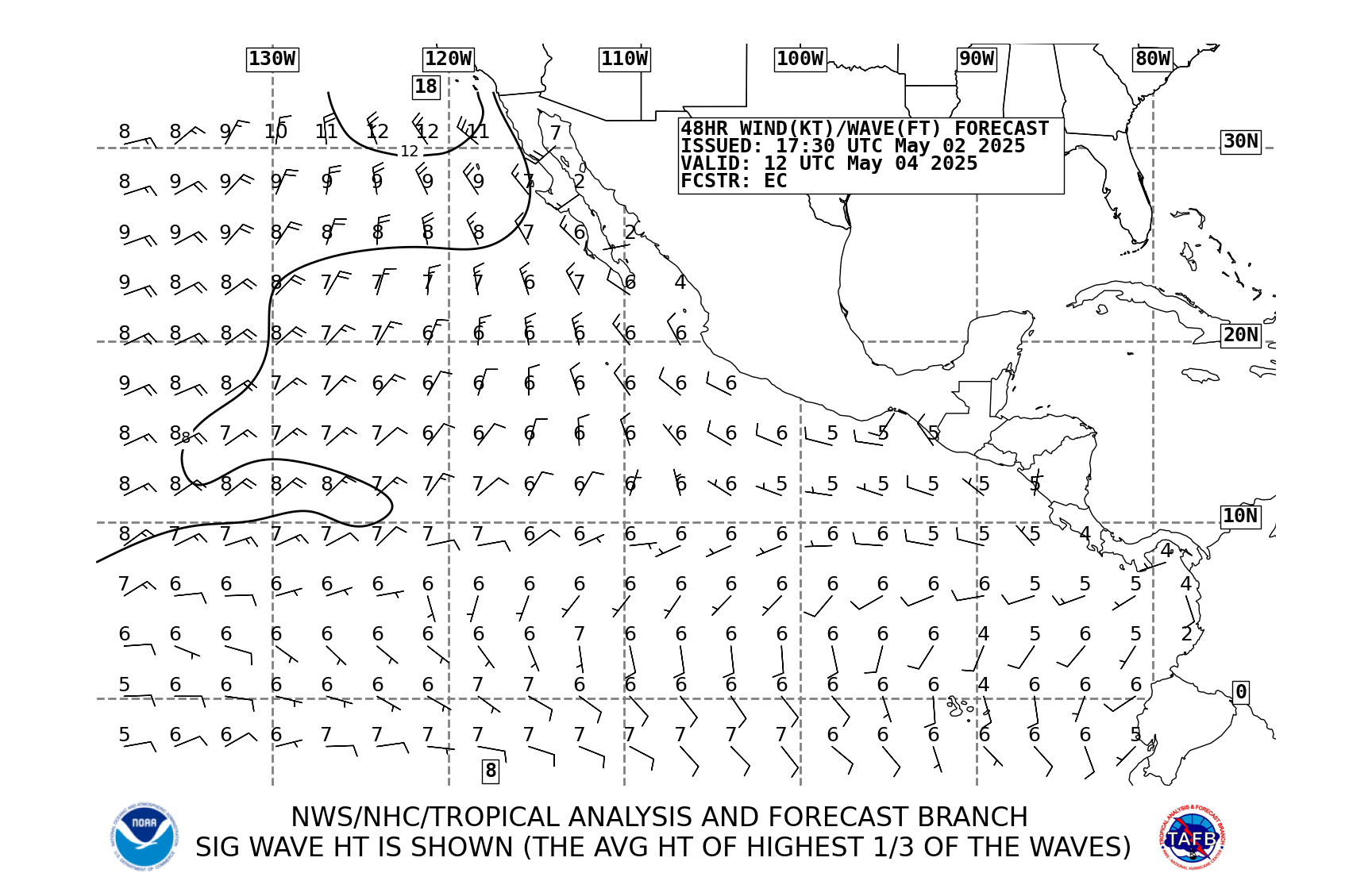
72 hr 00 utc http://www.nhc.noaa.gov/tafb_latest/pac72_latestBW.gif
- Wind and Sea forecast for East North Pacific
00z 48 hours fcst http://www.nhc.noaa.gov/tafb/pac48_00bw.gif
12z 72 hr http://weather.noaa.gov/pub/fax/PWFK92.gif
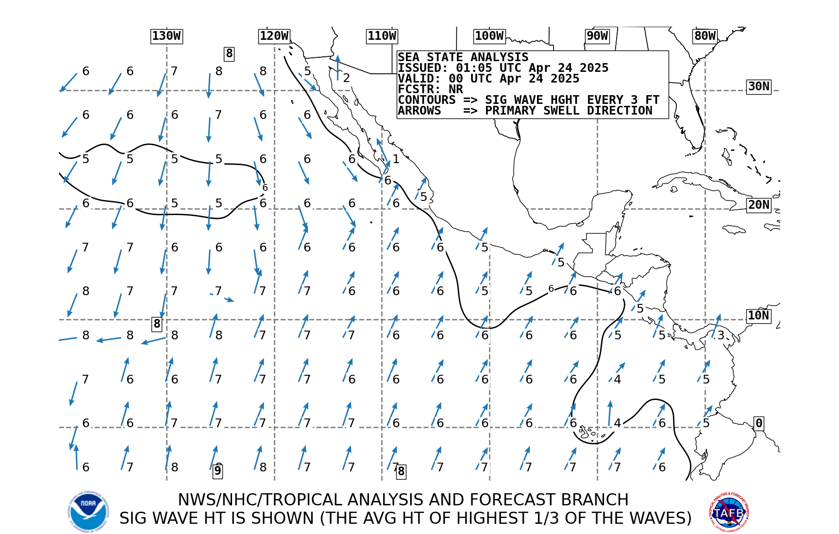
- Sea state analysis
Current 00 utc http://www.nhc.noaa.gov/tafb_latest/pacsea_latestBW.gif
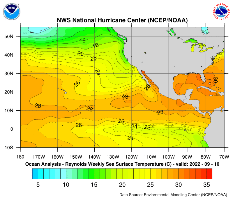
- Eastern north pacific sea surface temp
http://www.ssd.noaa.gov/PS/TROP/DATA/RT/SST/PAC/20.jpg
http://www.nhc.noaa.gov/tafb/pac_anal.gif
- Eastern north Pacific tropical weather outlook
http://www.nhc.noaa.gov/gtwo_epac.shtml
Mexico and Central America – Weather Links
www.stormsurf.com
Free surfing site for various weather details with excellent technical text about what is coming our direction.
www.iwindsurf.com
Free windsurfing site with excellent information, pay for premium membership for more detailed information.
www.wavewatch.com
Free cameras ashore focused at surf spots showing surf size and sea state.
www.surfline.com
Free surfing site with forecasting and cameras, pay for premium membership for more detailed information.
www.wetsand.com
Free surfing site.
http://weather.noaa.gov/fax/ptreyes.shtml#WIND
NOAA National Weather Service North Pacific and Tropical East Pacific weather links
http://www.nhc.noaa.gov/index.shtml
NWS National Hurricane Center
Recommended NWS Marine Portal link for broadband connections:http://preview.weather.gov/edd/index.php?t=marine
No comments:
Post a Comment